The RTPI’s research on the Location of Development series considers the location of new housing development in relation to existing infrastructure. The RTPI has now published the fourth instalment of the series, which looks at where housing is planned in England. This new report has been jointly produced in conjunction with LandTech and highlights a decade of missed opportunities in achieving sustainable housing.
Using data on planning permissions from LandTech and journey time estimates from the Department for Transport, we looked at housing developments that were granted planning permission over the period 2012-2021 to compare the extent they might deliver better access to a range of key destinations that represent local services and community facilities.


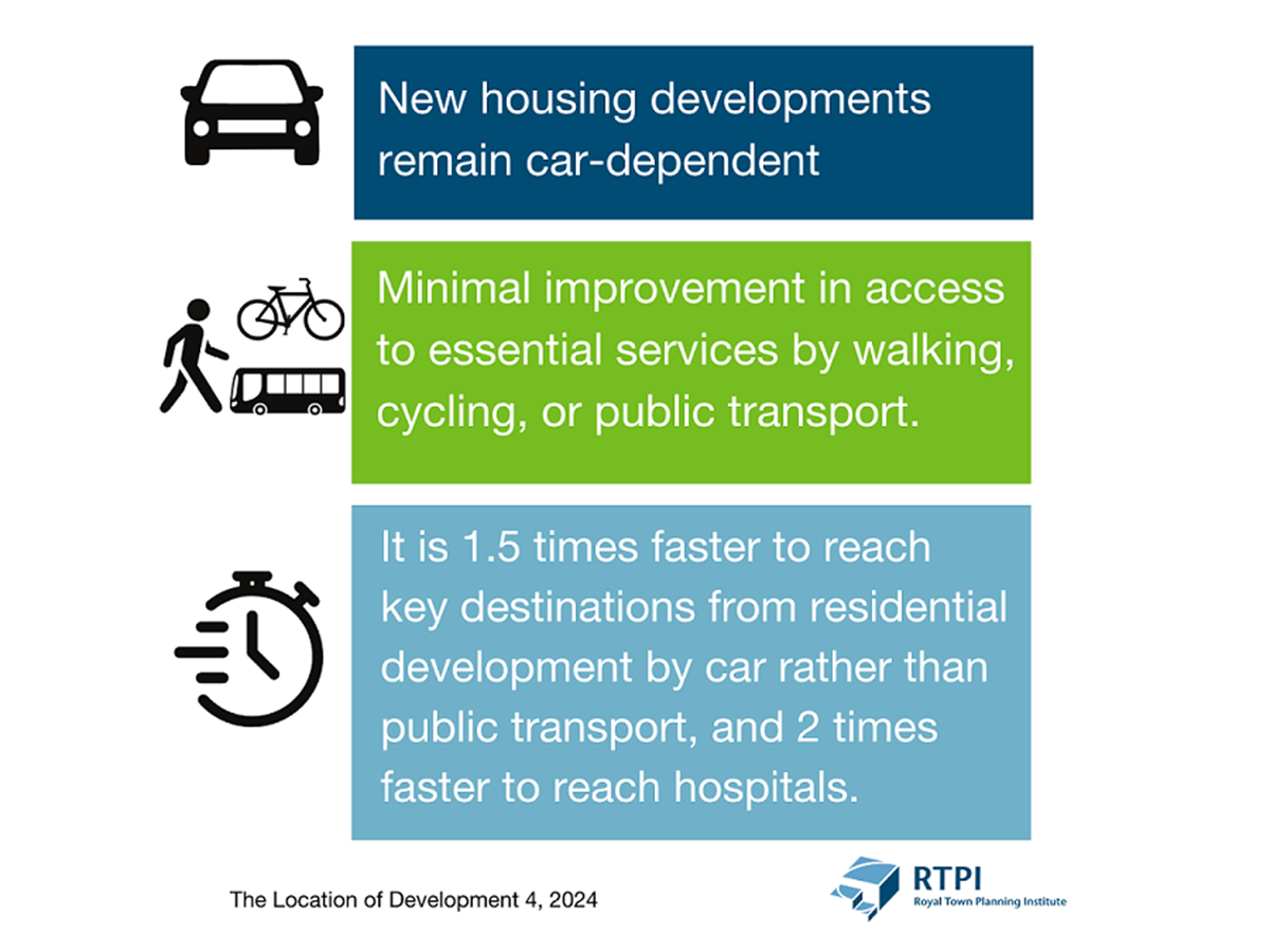
The report reveals that new housing developments remain car-dependent, with minimal improvement in access to essential services by walking, cycling, or public transport.
An analysis of the last decade under the previous NPPF, the report found that, despite its focus on sustainable development, accessibility from newly approved homes has stagnated from 2012 to 2021.
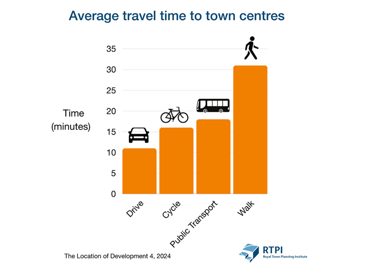
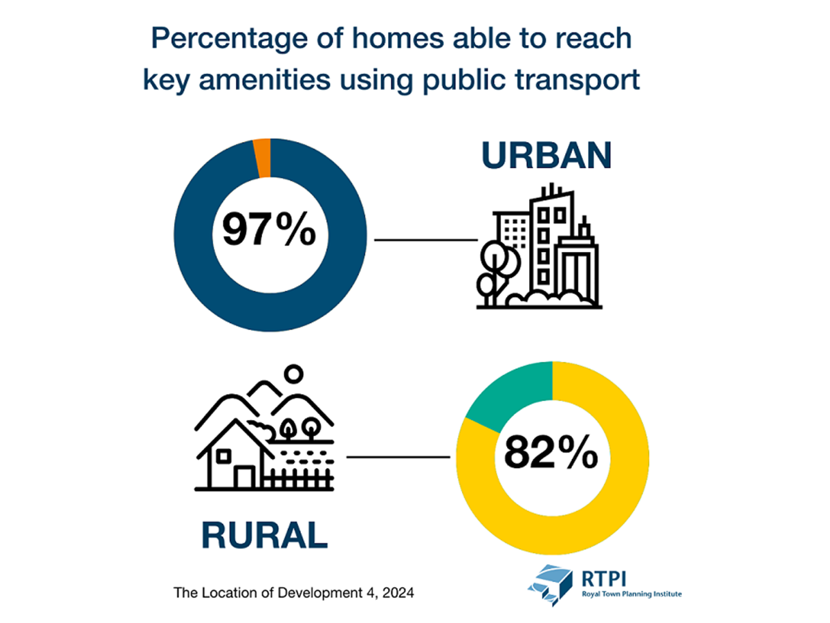
Public transport continues to trail behind car travel, with journeys taking, on average, 1.5 times longer than by car. While 96% of new homes can reach a town centre within a 20-minute drive, only 66% have the same access using public transport and 47% within a 20-minute walk.


Previous reports
Literature review
Settlement Patterns, Urban Form and Sustainability
This research paper accompanied the 2017 update of the Location of Development analysis


